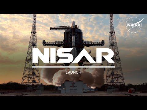
Join NASA and ISRO (the Indian Space Research Organisation) for the launch of our most advanced Earth-observing radar satellite, which will provide 3D views of land and ice surfaces in unprecedented detail.
The spacecraft is scheduled to launch at 8:10 a.m. EDT (1210 UTC) on Wednesday, July 30, aboard an ISRO Geosynchronous Launch Vehicle Mark II rocket from the Satish Dhawan Space Centre on India’s southeastern coast.
From orbit, the NISAR (NASA-ISRO Synthetic Aperture Radar) satellite will enable scientists to measure small shifts in Earth’s glaciers, volcanoes, forests, and other land and ice surfaces – all down to a fraction of an inch. This data will help communities prepare for natural hazards like landslides and earthquakes, plus respond to them more effectively. With NISAR’s global view, researchers will better understand what’s changing, where, and why.
NISAR’s radar will measure surfaces by transmitting a specific microwave signal to Earth and then detecting characteristics of the return signal. The instrument can "see" through clouds and light rain, both day and night, and will scan a given spot twice every 12 days.
For more information on the launch, visit: https://go.nasa.gov/4558bSi
For more information on NISAR, visit: https://nisar.jpl.nasa.gov/
Credit: NASA
Author: NASA
Go to Source
News post in at: July 29, 2025, 9:00 am.
Visit Our Sponsor’s:
News.Science – News Science


